Oneida County residents can now track plow trucks and other DPW vehicles via GPS
Oneida County residents now have access to a GPS map that allows them to track county snow plows and other DPW vehicles.
“This technology allows our residents to see when and where roads are being cleared and salted by county vehicles,” said County Executive Anthony J. Picente Jr.
“Our new GPS tracking map will assist in travel planning during the winter months and make it safer and more convenient. We are constantly looking for ways to be more innovative and provide our residents with the best possible service.”
With 28 plow units and over 400 total miles of roads to work with, this GPS tracking technology is only available on county-owned plows and the routes they are responsible for.
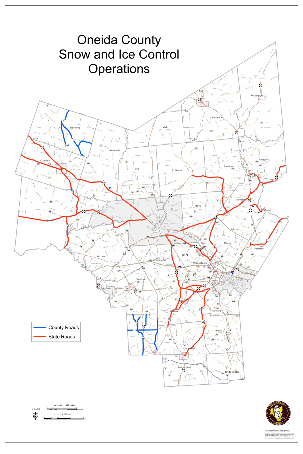
Oneida County Department of Public Works image.
"I am excited by the opportunities this new technology presents for the county and our residents,” said OCDPW Commissioner Matthew Baisley. “County Executive Picente is committed to efforts that provide better and more efficient services to our community.”
The GPS tracking map can be found on the county’s website. Tracking is initiated when the vehicle’s salt spreaders are active.
The map offers an address search function and allows residents to search by day and time. The live function of the map operates on a 10-minute delay.
The vehicles’ GPS system also provides DPW with real-time mechanical status monitoring which improves safety for drivers and the public.
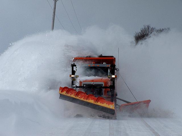
Snowplow image.
